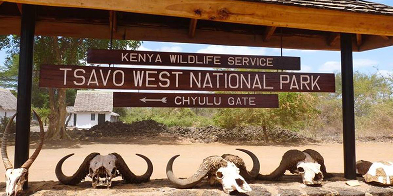
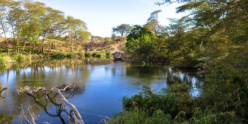


Tsavo West National Park covers 7065 km2, approximately 30% of Kenya’s area under parks, and contains a diversity of habitats, wildlife and a mountainous scenic landscape.
The park is a vast expanse of savanna stretching from Mtito Andei, along the Mombasa-Nairobi road and south to the Tanzanian border. The North Eastern boundary along the Highway adjoins Tsavo East National Park, but Tsavo West has a more varied topography and a more diverse array of habitats than its neighbour.
The park’s habitats include open plains alternating with Savannah bush and semi desert scrub, acacia woodlands; rocky ridges and outcrops and more extensive ranges and isolated hills; belts of riverine vegetation; palm thickets and on the Chyulu hills, mountain forest.
There are numerous rocky outcrops and ridges and part of the park, towards the Chyulu Hills, is of recent volcanic origin with lava flows and ash cones including the Shetani lava flow, an example of a recent volacano.
In the far south western corner on the Kenya Tanzania border is Lake Jipe, part of which is in the park. This very attractive lake is fed by runoff from Mt. Kilimanjaro and the North Pare mountains.
At Mzima Springs, in the North of the park, water that has filtered underground from the Chyulu Hills gushes from below a lava ridge into a series of clear pools.
Location:
South Eastern Kenya, inland from Mombasa, and the altitude ranges between 200 – 1000m.
Climate:
Temperature ranges from 20 – 30o C and rainfall from 200mm – 700mm. Two ran seasons: Long rains – March/April & Short rains – Nov/December.
Major Attractions:
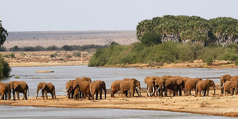
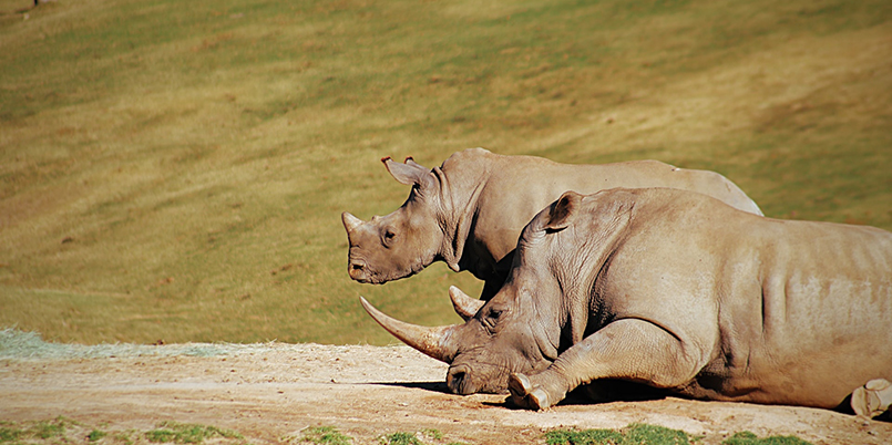
Recent volcanoes, lava flows and caves with potential for geological and cave exploration, and hiking. Mzima Springs & underwater hippo watching, Ngulia Rhino Sanctuary, Lake Jipe, Mt. Kilimanjaro, elephant, rhino, diverse bird and plant species. And if lucky – Wild dogs.
Facilitites:
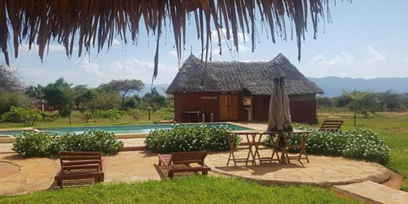
Lodges: Ngulia Lodge; Kilaguni Serena Lodge; Severin Safari Camp/Lodge; Finch Hattons.
Campsites: Lake Jipe (public); Kamboya (public); Royal Little (special); Simba (special); Kenge (special); Kudu (special). Others: Kamboyo guesthouse; Tsavo West Information Visitor Centre.
Bandas: Lake Jipe; Kitani; Ngulia.
Picnic Sites: Poachers look out; Chaimu Crater; Shetani Lava Flow; Roaring Rocks; Mzima Springs; Visitor Information Centre Picnic Site.
Common Vegatation:
Most of the northern sector is Acacia commiphora bushland with scattered trees such as baobabs – Adansonia digitata and Delonix elata. In the Ngulia area, a range of craggy hills reaches around 1800m and is heavily wooded. The southern sector consists of open grassy plains. The permanent tsavo river runs through the northern part of the park with a fringe of riverine Acacia elatior and Hyphaene compressa woodland. Lake Jipe is bordered by extensive beds to Typha and has large permanent swamps at its eastern and western ends. Mzima springs, is fringed by Raphia farinifera and Phoenix reclinata palms.
Visitor Activities Boat excursion at lake Jipe; Bird watching at lake Jipe; Annual bird ringing at Ngulia lodge; Hill and rock climbing at Chaimu and Ngulia Hills.
